Road Networks: Chicago and Twin Cities
Road Networks: Chicago and Twin Cities Heading link
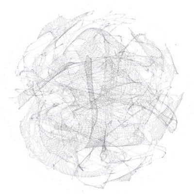
The picture below on the left (full 22.7MB) shows a graphical representation of the Chicago road network, and the one of the right (full 9.7MB) shows the road network of the Twin Cities (Minneapolis and St Paul). A list of edges was extracted from the TIGER GIS files, and the figure was drawn in python using the igraph library. The nodes are colored based on their degree (i.e. the more connections, the darker). The first observation is that the Chicago road network is much larger. In fact, it has more than 100,000 edges compared to 24,000 for the Twin Cities. The typical “grid” pattern of streets is much more obvious from the Twin Cities simply because it isn’t as cluttered as Chicago. Beyond these two observations, the graphs look more like hairballs and they don’t tell us much. Calculating a few metrics, however, we also find that Chicago’s average path length between any pairs of vertices and its diameter are close to 115 and 333 respectively as opposed to 63 and 171 for the Twin Cities. As a result, despite being four times the size of the Twin Cities’, the network properties for Chicago’s road network do not scale in a similar fashion. We hope to be able to add many more cities in the future.
Update: We now know that the data that was used is partially incorrect since the raw data had some problems. Make sure to check our GISF2E tool (GIS Features to Edgelist).
click here to download image 1
click here to download image 2
